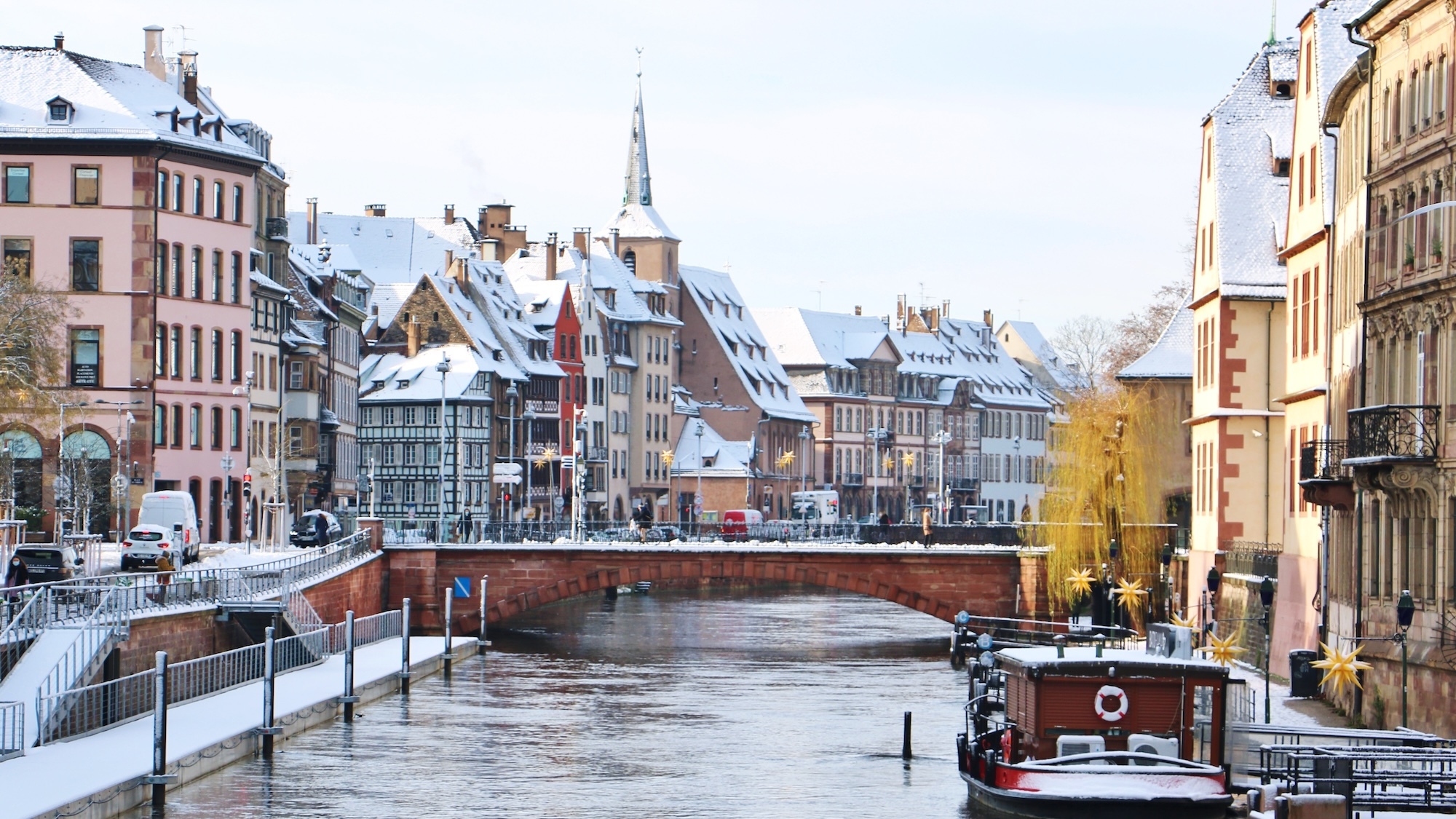
Indeed, the weather is still playing tricks on us! After a week of cold, snow, and wind, a warm-up has allowed the braver souls to enjoy the terraces in the evening (we're not even exaggerating a bit...). A warm-up that's quite delightful (even if it comes with a fair bit of rain), but we want to give you a heads up—hopefully, you haven’t already packed away your parkas and puffer jackets for good because the weather could take a turn again.
A sweet but gloomy start to the week...
Let’s not get ahead of ourselves. Before diving into the potential plunge into winter that awaits us at the end of the week, let’s take a moment to look at the forecast for the coming days. And generally, we need to warn you, things aren’t going to change much compared to what we experienced last week. Overall, the tTemperatures between -3° and 4° are expected all week, and the sky will mostly be gray, misty, and even rainy, especially starting Thursday. Thankfully, some lovely bright spells will still manage to break through the clouds here and there on Tuesday and Wednesday.
— 🇨🇵 Gaulliste à 500 % 🇨🇦🇬🇧🇺🇲🇳🇿🇮🇱 (@J1966C) January 15, 2026
A Strong Comeback of Winter
Sadly, this Sunday, January 25 could be a turning point in our little lives, as a cold wave might sweep across France. What's behind this potential return of the snow? For a few weeks now, the countries in the North of Europe have been experiencing a unprecedented cold wave. -43°C in Finnish Lapland, -50°C in Stockholm, and even -60°C in Siberia. And although this reservoir of icy air, also known as the “polar vortex,” is currently stuck up north in the Old Continent, it is expected to move down towards the southwest, and thus France, in the coming days. But don't worry! For now, the likelihood of this scenario remains relatively low and would require several factors to align. So, no need to panic just yet!
