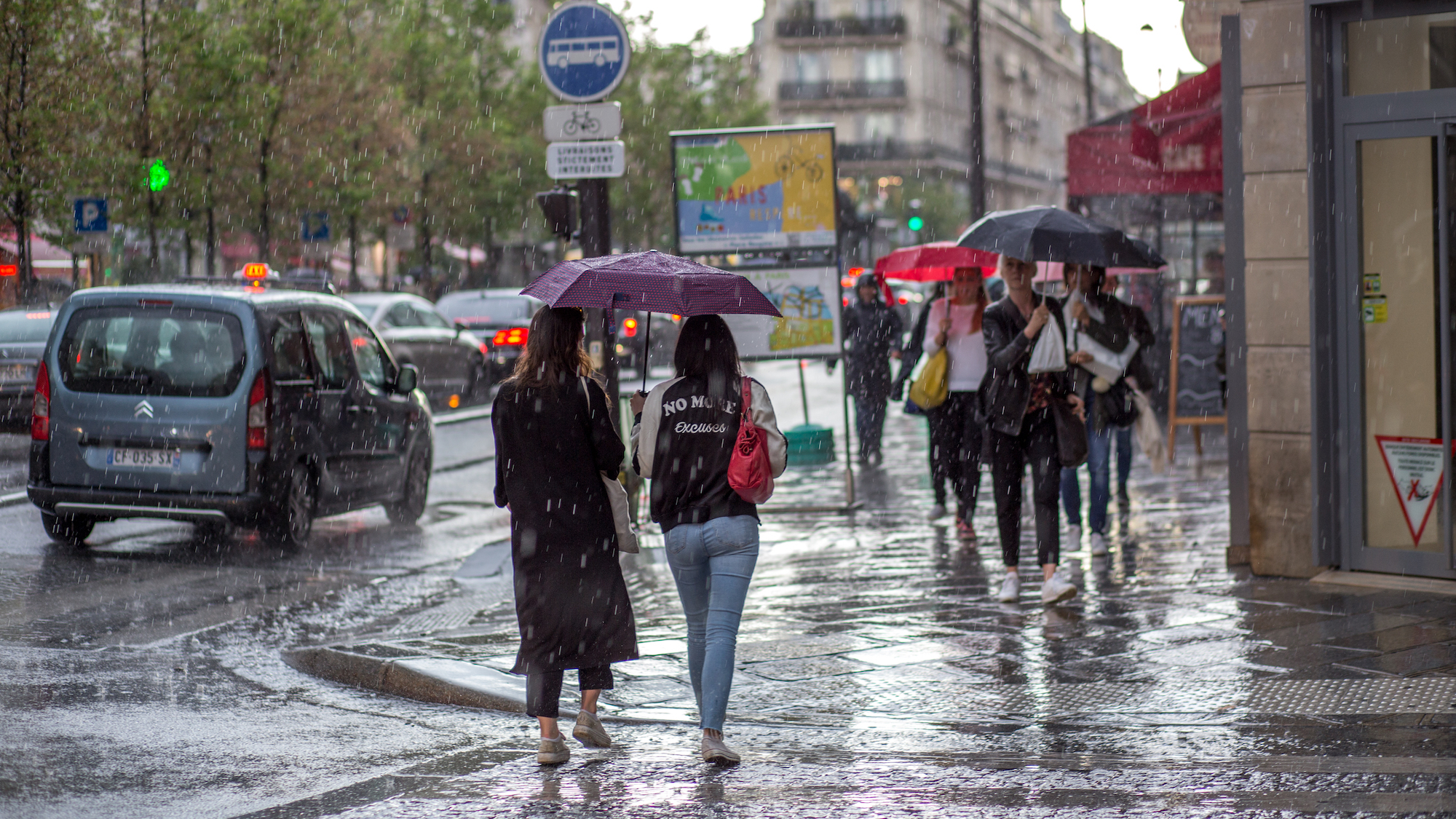
Last week was marked by almost continuous rain, and a little break since Monday, February 16 tricked the more optimistic among us into putting their umbrellas away. We have to stop you right there: you made a big mistake. Indeed, with Storm Pedro about to hit the region, new precipitation is expected in the capital, raising concerns among experts.
Liters and liters of rain
Lately, it has been raining. A lot. Really a lot. So much so that it has made the Seine overflow, leading to the closure of part of the quays due to flooding. Indeed, this weekend...
The river level was measured at 3.19 meters. And according to the weather experts, it’s not over yet, as the water is expected to rise in the next 24 to 48 hours, reaching nearly 4 meters.Voir cette publication sur Instagram
Indeed, starting tomorrow, a new depression will be hitting the country, crossing from the northwest to the southeast, from Wednesday morning until Thursday evening. The capital will therefore be on the front line, experiencing strong winds and intense rainfall. A wave of rain quite similar to what we saw last week, although this time it should be a little less intense. Phew!
Rivers to Keep a Close Eye On
If the heavy rains expected could have potentially significant consequences in the capital, especially along the Seine, it is particularly in western France that experts are calling for the utmost attention due to flood risks.
and there will be overflow in the coming days. So, 14 departments have already been placed on red or orange alert, and these alerts are not expected to be lifted in the coming days. Well, let's stay alert, don’t forget the boots and the raincoat, and take care of yourself !Mohamed Menasria vôtre mr météo sur X et Facebook #La nouvelle tempête Pedro de mercredi et jeudi inquiète beaucoup nos experts 17/02/2026 https://t.co/HuiAwn0aMB
— menasria (@MenasriaMomo) February 17, 2026
