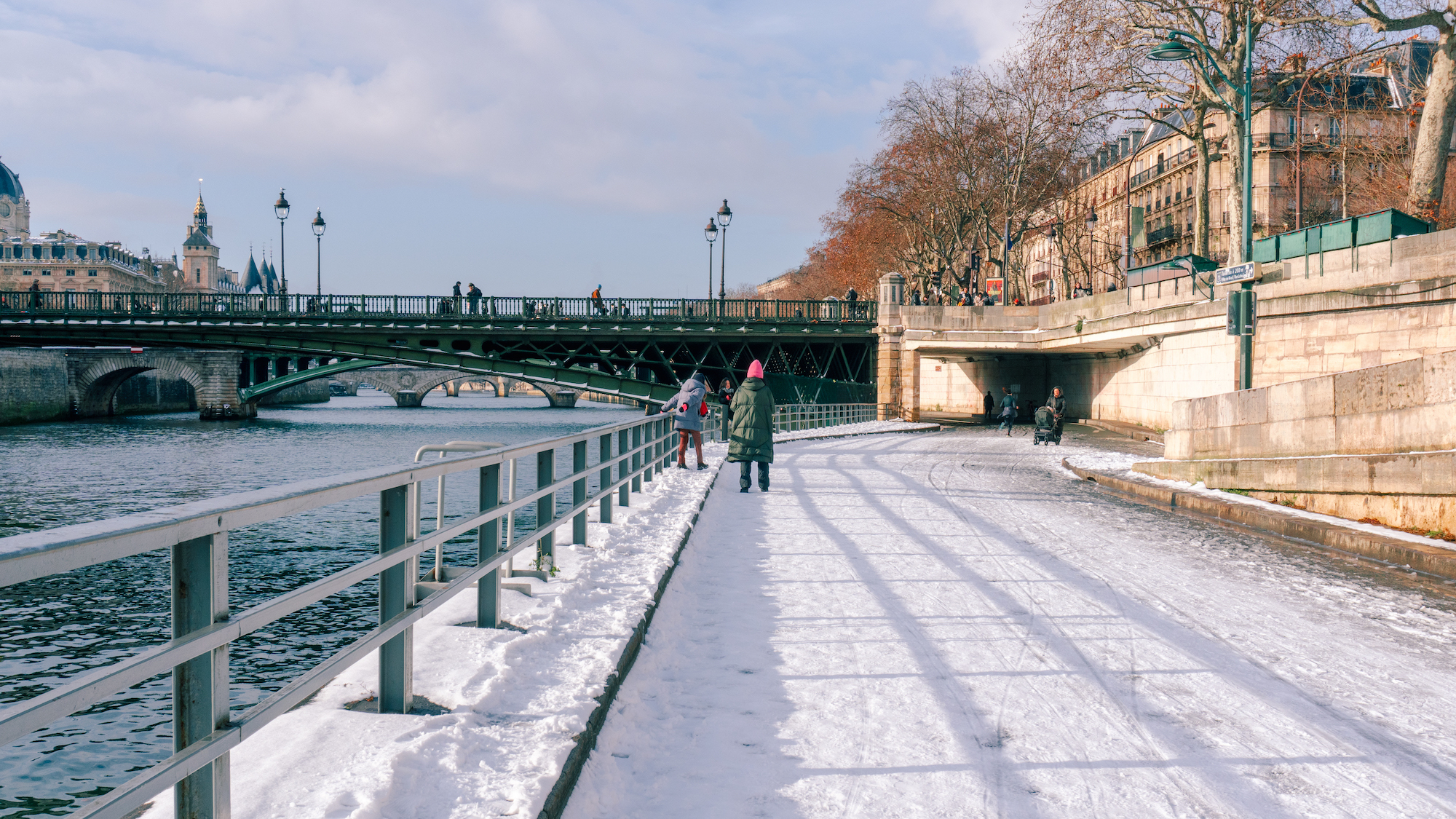
While the middle of January was quite mild, with unusually high temperatures for the season, for about ten days now, the cold has taken back its rights over the capital. And even though it’s not the “polar vortex” that was announced, it seems that in the coming days, snow might make its grand return to the capital.
A Week of Free Fall
After an absolutely sublime weekend, both in terms of sunshine on Sunday and temperatures, this Monday, February 9 marks the end of spring, and the plunge into a much more wintry weather. We start gently with temp... Temperatures between 4 and 12°C — while February 9th is statistically the coldest day of the month, with an average of 0.5°C.
IL VA PLEUVOIR TOUTE LA SEMAINE ET LE RISQUE VA ÊTRE PLUS MARQUÉ POUR LES JOURNÉES DE MARDI À VENDREDI !...
— Alain Delecroix (@AlainDelecroix1) February 9, 2026
- MÉTÉO FRANCE -
The beginning of the week will continue in the same vein, with temperatures around 10/12°C, a gray sky, and unfortunately many showers are expected. Starting Thursday though, the thermometer will drop, going below 10°C this Friday, where it will stay all weekend. Finally, temperatures will hit their lowest point on Sunday with negative minimums.
Is snow making a comeback ?
On Saturday, the day will be cold but very sunny, and it’s on Sunday that the sky will cover up to possibly bring us a return of snow to the region, with negative temperatures expected in some departments. However, be careful, as the capital is likely to be spared, especially since the thermometer is higher in urban areas.
Sad news. So, while some may be lucky enough to see a few flakes in the morning, what falls from the sky in Paris will resemble more of slushy snow or freezing rain. And no matter where you are in the region, the snow will unfortunately not stick to the ground, leaving us without landscapes worthy of a postcard picture. What a shame.Il fait trop MOCHE et FROID j’en ai marre de ce temps purée
— Camille ☆ (@camilllune) February 9, 2026
