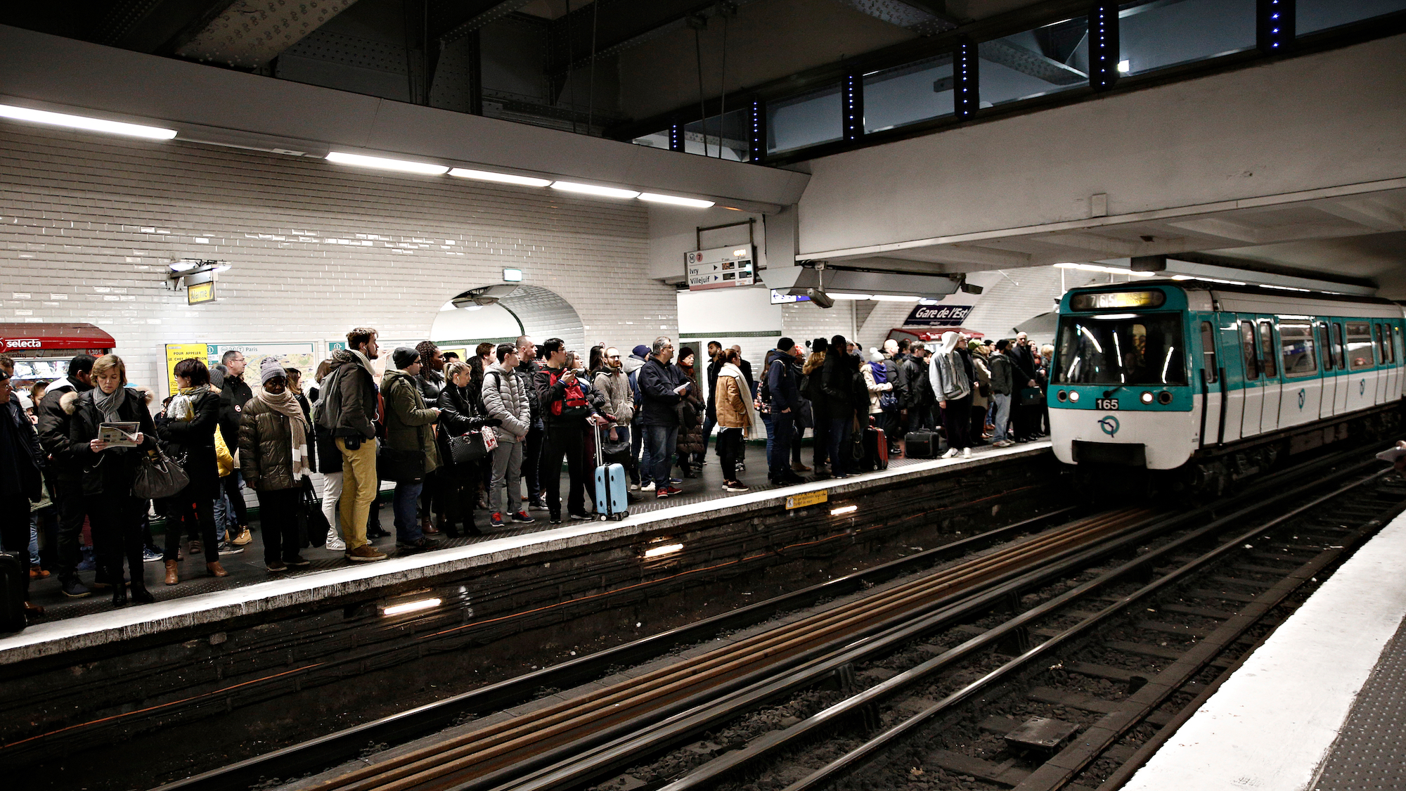
Pour se redonner le moral et suivre heure par heure les prévisions de fonctionnement de votre station de métro pendant les JO, une jolie carte interactive 👇 #Paris2024https://t.co/Q07FXxJpPG pic.twitter.com/RJvZsAVpS4
— Marius François (@marius_francois) January 30, 2024
The important thing is to be prepared
It's the Ministry of Transport that has announced the launch of this amazing little map, which you've probably already seen on the many posters popping up in the metro.
This platform is now available for you to check out and see the attendance levels of all metro stations during the Olympics on an hourly basis. It will also show you which stations will be closed. For example, we can tell you right now that Concorde and Porte de Versailles will be closed for the duration of the event. This nifty map also lets you see the busiest metro lines and sections. So get ready to enjoy the daily events from July 26th to August 11th, and then from August 28th to September 8th. Y a l'état qui a fait un site internet avec une carte interactive pour les temps d'attente prévus pendant les JO à chaque station de métro/RER/Transilien, en fonction du jour et de l'heure.
In addition, the map shows the Olympic lanes, and areas affected by traffic restrictions. And because they are nice, they even offer us alternative transportation solutions, by foot, by bike or by bus, for example. After all, even if we think it's a great idea, we are not yet convinced of the effectiveness of the system at the critical moment. Let's keep our fingers crossed that it works!
Les stations en rouge c'est attente pour accès aux quais >15 min💀https://t.co/pu2NKCr7yb pic.twitter.com/4JGIOm8KOQ
