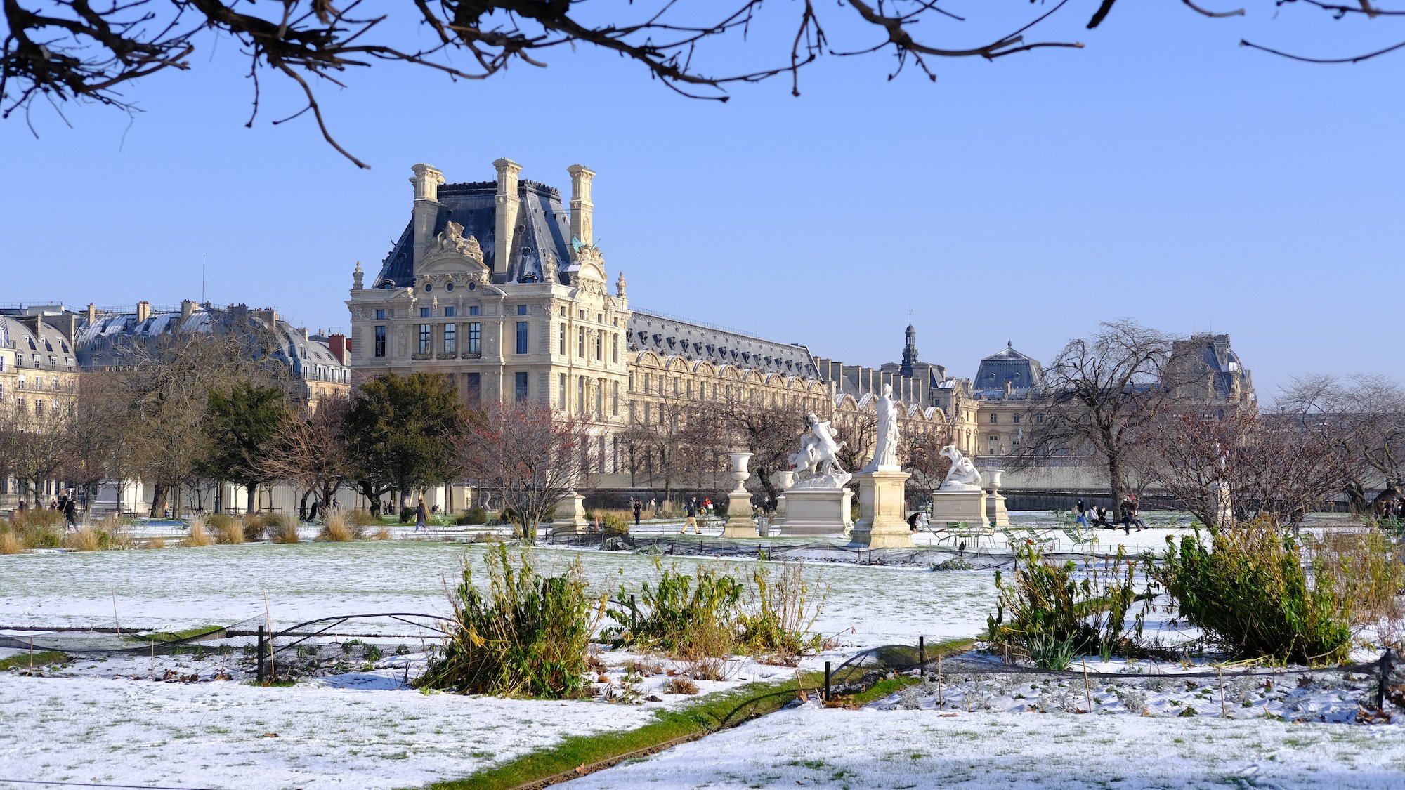
We’ve known it since the beginning of the week, this weekend won't yet mark the return of spring. However, according to the latest forecasts from climate experts, it seems that the situation is not as desperate as expected, with warmer temperatures across the country. Some departments, though, remain on alert, facing significant risks of ice and snow today and tomorrow, before improvement at the end of the weekend.
The northwest pole
According to the forecasts, the cold snap will be particularly intense in the northwest of the country, covering an area defined by the east of Brittany, Normandy, the Pays-de-la-Loire, and the west of Île-de-France. And yes, while a large part of the Hexagon will escape it, Parisians are in for a chill!
s, Parisians, get ready, because you won't be spared.La #neige est tombée ce jeudi 21 novembre à #Paris. L’occasion de transformer #Montmartre en station de ski 😂❄️⛷️ pic.twitter.com/eGoMGjIys8
— InfOccitanie (@infoccitanie) November 21, 2024
Don't worry too much, though, Paris shouldn't be too affected, as the 3 departments involved in the region are Yvelines, Essonne, and Val-d'Oise. The cold phenomenon, which will start tonight, could last until late morning. Authorities are therefore advising great caution, especially for those who will be driving on the roads.
A mixed weekend
The cold wave is expected to continue until Saturday during the day. And while that leaves plenty of time for snow to fall, both Météo France and Chaîne Météo are clear that unfortunately it shouldn't stick anywhere, or if it does, it will be very temporary.
tiny. No lovely white coat to marvel at, just cold, cold, and more cold. And a bit of icy slickness, just to make sure we get the worst out of this situation.#Neige demain et samedi : voici les zones où les flocons pourront tenir au sol. La limite pluie-neige sera plus élevée que prévu initialement, concernant le massif central au-dessus de 1300 m. Un saupoudrage est probable sur les collines normandes. pic.twitter.com/7ra2Eo8DCv
— La Chaîne Météo (@lachainemeteo) February 6, 2025
On Sunday, the precipitation and mixed rain and snow should become less frequent, focusing solely on the mountain ranges, specifically the Pyrenees and the Alps. However, we want to give you a heads-up, the behavior of this cold drop is highly unpredictable, and the situation could still change at any moment over the weekend. We'll keep you posted.
