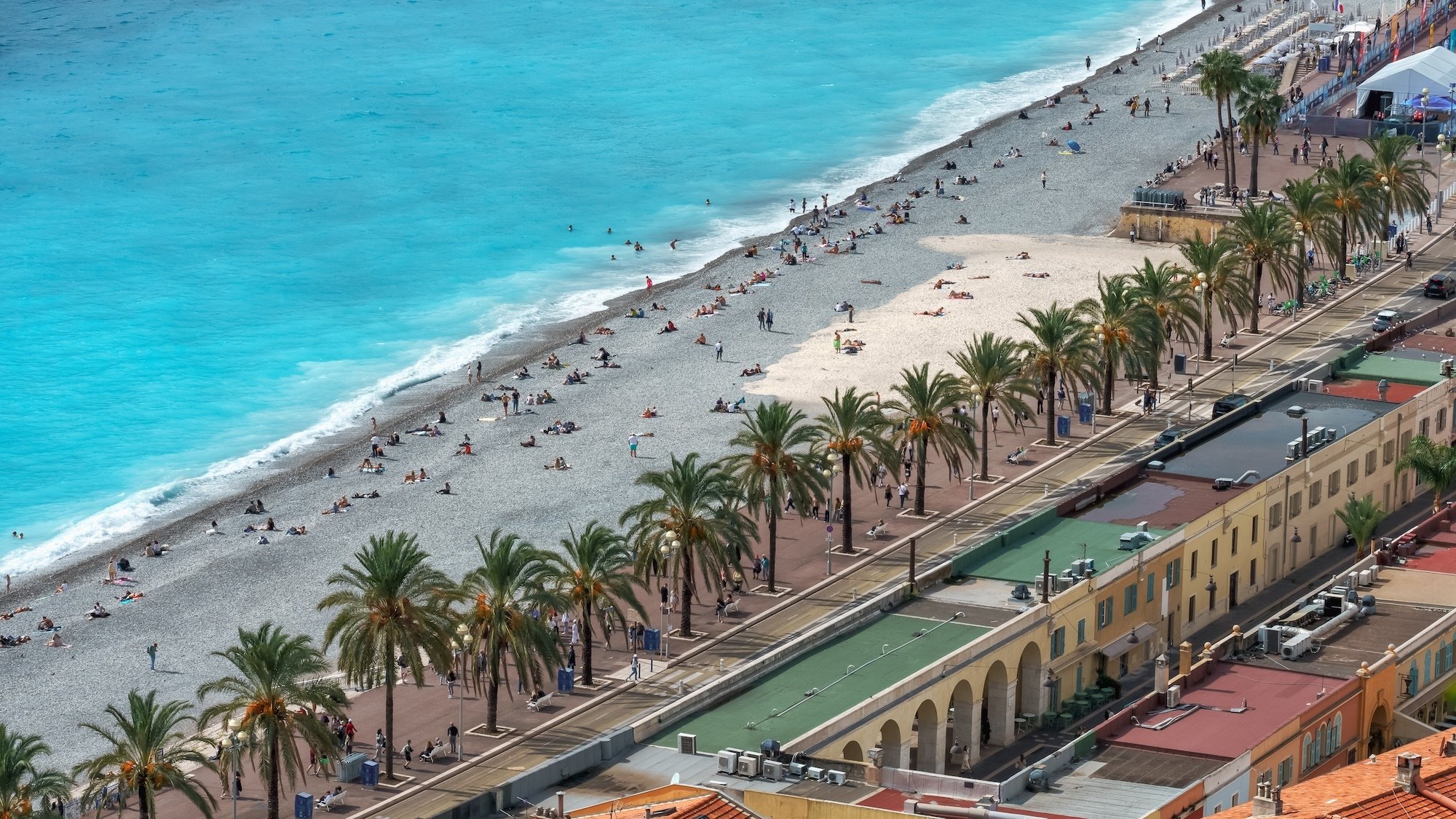
What if, tomorrow, your flight took off... with your feet in the water? This scenario — not so silly — is outlined by an interactive map created by Gonéri Le Cozannet, a researcher and co-author of the latest IPCC report. Thanks to super solid scientific data, combined with information from NASA and Mercator Ocean International, this tool gives a very concrete glimpse of the places that might find themselves underwater in the decades to come. Spoiler: the French Riviera isn’t exactly topping the list of safe zones.
Will Nice Airport Soon Be Underwater?
First in the line of sight: Nice Airport. According to the most pessimistic (but not unrealistic) projections, some areas could see sea levels rise by two meters. Yes, two. It’s safe to say that the luggage might get wet. The Phoenix Park wouldn’t be spared, just like some well-established infrastructures. Not much better for the ports of...Beaulieu, Saint-Jean-Cap-Ferrat, Mandelieu, Monaco, or even Menton, where the Jean Cocteau museum might have to swap its artworks for buoys.
See this post on Instagram
The Côte d'Azur up close
Cannes is no exception to the trend. The Old Port could see the water nibble away up to a meter of land. It’s a bit less glamorous when you picture the steps of the Festival getting soaked at high tide. And in Var...The Giens Peninsula is dancing on a tightrope. By 2100, it could simply... disappear. Hyères, already battling erosion, has reason to worry.
Of course, this map isn't a prophecy set in stone. It doesn't take into account future developments or the backup plans that municipalities are preparing. But it does raise a warning. Because behind the numbers, there is a real issue: 20% of the French coastline is affected. And on the Riviera, where land and sea have always flirted closely, the battle is just beginning.
Source : Nice Presse
