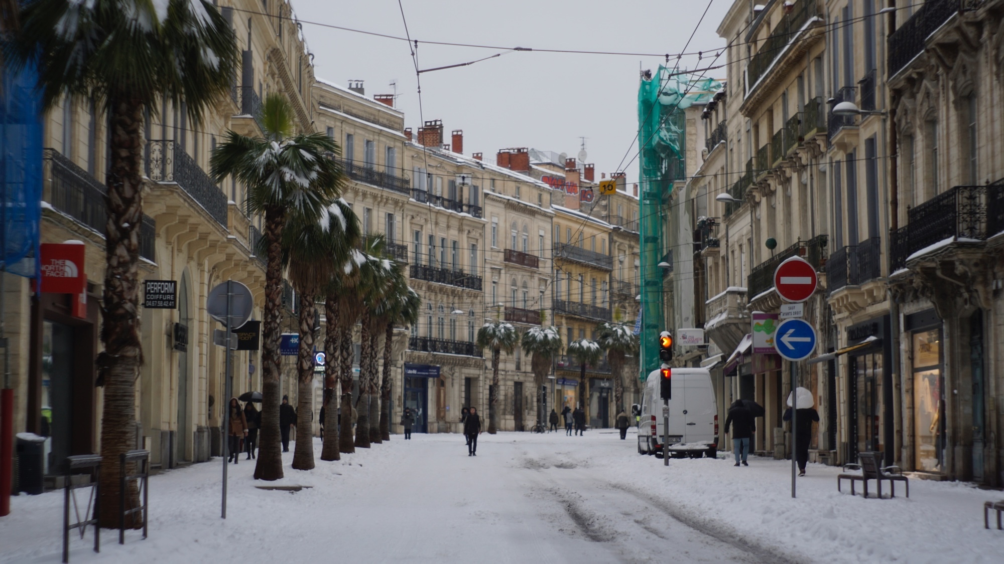
Indeed, the weather is definitely not done playing with our nerves. After a week of cold, snow, and wind, a warming trend has allowed the bravest among us to enjoy the terraces in the evenings (we're not exaggerating too much...). There has been a lovely rise in temperatures (even if accompanied by a fair bit of rain), but we’d like to give you a heads up, we hope you haven't already packed away your parkas and puffer jackets for good, as the weather might deteriorate again.
A mild start to the week... but gray
Let's not put the cart before the horse; before diving into the potential descent into chaos we might face at the end of the week, let’s take a moment to focus on the forecasts for the coming days. And overall, just a heads up, it's not going to change much compared to what we experienced last week. In general, some t.
Temperatures between 5 and 12° are expected all week, and the sky will mostly be gray, misty, and possibly rainy, especially from Thursday on. Luckily, a few lovely bright spots will manage to break through the clouds here and there on Tuesday and Wednesday.— 🇨🇵 Gaulliste à 500 % 🇨🇦🇬🇧🇺🇲🇳🇿🇮🇱 (@J1966C) January 15, 2026
A Strong Comeback of Winter
Unfortunately, this Sunday, January 25 could mark a turning point in our little lives, as a cold wave might sweep across France. What's behind this possible return of snow? For a few weeks now, the countries of the North of Europe have been experiencing an unprecedented cold wave - -43°C in Finnish Lapland, -50°C in Stockholm, and even -60°C in Siberia. While this reservoir of icy air, also known as the "polar vortex," is currently stuck up in the Old Continent, it is expected to move down towards the southwest, and therefore France, in the coming days. But don't worry just yet: for now, the likelihood of this scenario is still relatively low and would require a number of factors. So, no need to panic just yet!
```
