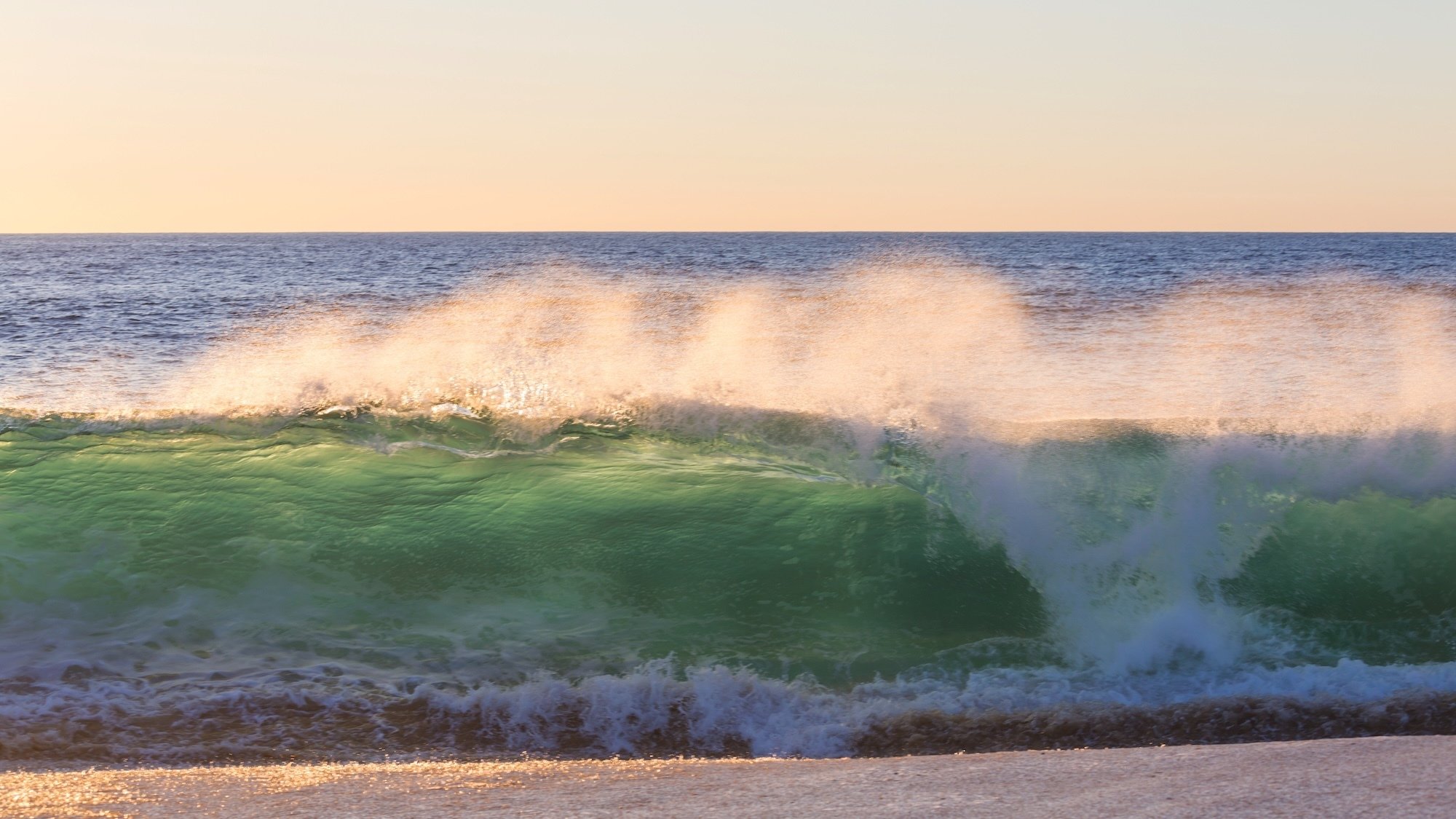
This last week of August 2025 is shaping up to be quite a turbulent one along the Gironde coast. Under the influence of Hurricane Erin, a cyclonic swell is expected to hit the Atlantic beaches, from Lacanau to Cap Ferret, passing by Carcans and Le Porge. Between Tuesday, August 26, and Thursday, August 28, waves exceeding five meters could crash onto the coastline, threatening the last swims of vacationers.
Hurricane Erin: Massive Waves Hit the Atlantic
Born just a few days ago off the coast of Cape Verde before reaching the United States, Erin is classified as a category 2 on the Saffir-Simpson scale. Off the coast of Washington, its winds are reaching 190 km/h. Moving north in the Atlantic, it is expected to transform into a extra-tropical depression and produce strong swells on our beaches.
Our Lifeguards on High Alert
With tidal coefficients nearing 90, the cyclonic swell could generate waves surpassing five meters at Lacanau or Carcans, with even stronger series to come!
"More the coefficient is high, the wave train can spread without being filtered," explains meteorologist Yann Amice. On the beach of Porge, the CRS lifeguards are getting ready. "We test the conditions daily by going into the water. If it's not safe, we will raise the red flag," assures Mathias, a swimmer-lifeguard.Surveillance will be increased at all the rescue stations along the Gironde coast. Teams will be deployed in the water to scan the swimming areas, while spotters posted high on the dunes will keep a close watch on the ocean. Beyond the Gironde beaches, the depression from Erin is expected to cause a sustained drop in temperatures and a widespread return of rain across the rest of the country.
